Thursday, November 12, 2009

Trimming the Astroturf:
Physics Society Rejects Anti-Science Petition

The American Physical Society (APS), an organization of professional physicists, announced Tuesday that it had rejected a petition attempting to repeal the group's 2007 statement on climate change:
The Council of the American Physical Society has overwhelmingly rejected a proposal to replace the Society’s 2007 Statement on Climate Change with a version that raised doubts about global warming. The Council’s vote came after it received a report from a committee of eminent scientists who reviewed the existing statement in response to a petition submitted by a group of APS members.

The petition had requested that APS remove and replace the Society’s current statement. The committee recommended that the Council reject the petition. The committee also recommended that the current APS statement be allowed to stand, but it requested that the Society’s Panel on Public Affairs (POPA) examine the statement for possible improvements in clarity and tone. POPA regularly reviews all APS statements to ensure that they are relevant and up-to-date regarding new scientific findings.
DeSmogBlog has a link to an analysis [2MB pdf] by John Mashey exhaustively deconstructing the petition and its signers.

The Wascally Wabbit comments:
The American Physical Society Stays Real
.

PhysicsWorld says:
APS rejects plea to alter stance on climate change.

Science Magazine's ScienceInsider blog has a brief report:
APS Council Rejects Bid to Soften Society Statement on Global Warming

Monday, November 9, 2009

Wettest October in U.S., 3rd Coldest

Aided by the heaviest precipitation in 115 years of record, October 2009 temperatures were the third coldest on record in the United States. The National Climatic Data Center preliminary analysis for the month, released this afternoon, shows that the national monthly average temperature of 50.8°F was 4.0°F below the 20th Century average. Eight of the nine climatic regions were colder than average, with five of those much colder. Oklahoma set a record for its coldest October, and 10 other states were in the top five coldest:
  • Second: Kansas, Nebraska
  • Third: Iowa, Wyoming
  • Fourth: Colorado, South Dakota, Arkansas
  • Fifth: Montana, Minnesota, Missouri
The only region with near normal temperatures was the Southeast, where Florida was the only state with warmer than average temperatures.

The national average precipitation of 4.15" was almost double the long-term October amount of 2.11". The East North Central and South regions both had their wettest Octobers, and the Central region had its second wettest. Three states had record wettest Octobers: Iowa, Arkansas, and Louisiana. Fourteen other states were ranked in the top five wettest for the month. Only three states had below-normal precipitation.

Images (click to enlarge): U.S. October average temperature since 1895, statewide temperature and precipitation ranks for October 2009; from National Climatic Data Center

Monday, November 2, 2009

Record Monthly Temperatures and Snowfall in October

For other record temperature posts, see:
Record Heat
Record Cold


Midnight Update: October was the second coldest in Denver:
THE MONTH'S AVERAGE TEMPERATURE WAS ONLY 42.9 DEGREES WHICH MOVED OCTOBER 2009 
INTO THE 2ND COLDEST OCTOBER IN DENVER WEATHER HISTORY.
THE COLDEST OCTOBER WAS A VERY FRIGID 39.0 DEGREES WHICH WAS RECORDED IN 1969.
THERE WERE 17 DAYS WHEN THE LOW TEMPERATURES WERE 32 DEGREES OR LOWER WHEREAS
THE NORMAL AMOUNT IS ONLY 9. THREE HIGH TEMPERATURES
DID NOT MAKE IT TO THE FREEZING MARK WHICH IS 3 ABOVE NORMAL.
Original post:
Several monthly cold temperature and snowfall records were set or approached for October in Wyoming, Oklahoma, South Dakota, Nebraska, and Kansas:
Wyoming:
CHEYENNE WY SET NEW RECORDS FOR COLD AND SNOW DURING THE MONTH OF
OCTOBER 2009. A TOTAL OF 28.0 INCHES OF SNOWFALL WAS MEASURED
DURING THE MONTH...WHICH SET A NEW RECORD FOR THE MOST SNOWFALL EVER
RECORDED IN CHEYENNE DURING OCTOBER. THE OLD RECORD WAS 23.1 INCHES
WHICH FELL IN 1906.

CHEYENNE ALSO SET A NEW RECORD FOR THE COLDEST AVERAGE TEMPERATURE
FOR THE MONTH. THE AVERAGE TEMPERATURE FOR OCTOBER 2009 WAS 37.0
DEGREES WHICH JUST EDGED OUT THE PREVIOUS LOWEST OCTOBER AVERAGE OF
37.1 DEGREES SET IN 1969.

Oklahoma:
THE AVERAGE MONTHLY TEMPERATURE AT THE TULSA INTERNATIONAL AIRPORT
FOR OCTOBER 2009 WAS 55.9 DEGREES WHICH WAS 6.7 DEGREES BELOW
NORMAL. THIS TIES WITH OCTOBER 1925 FOR THE COLDEST OCTOBER ON
RECORD. THE DAILY HIGH TEMPERATURES WERE THE PRIMARY FACTOR IN THIS
RECORD SETTING EVENT. THE OBSERVED AVERAGE DAILY MAXIMUM TEMPERATURE
OF 64.5 DEGREES WAS 9.5 DEGREES BELOW NORMAL...WHILE THE DAILY
AVERAGE MINIMUM OF 47.2 DEGREES FELL SHORT BY 3.9 DEGREES. THERE
WERE 8 DAYS IN THE MONTH WHERE THE AVERAGE DAILY TEMPERATURE WAS AT
OR ABOVE NORMAL...WITH THE REMAINING 23 DAYS FALLING BELOW NORMAL BY
-5 TO -18 DEGREES. THE WARMEST TEMPERATURE WAS 84 DEGREES OCCURRED
ON THE FIRST DAY OF THE MONTH...WITH THE COLDEST READING OF 35
DEGREES OBSERVED ON THE 18TH OF OCTOBER. THERE WERE 284 HEATING
DEGREES DAYS DURING THE MONTH WHICH WAS ABOVE NORMAL BY 132 DEGREES

South Dakota:
THE AVERAGE TEMPERATURE FOR THE MONTH OF OCTOBER AT THE RAPID CITY
AIRPORT SOUTH DAKOTA WAS 38.7 DEGREES. THE PREVIOUS RECORD FOR
OCTOBER WAS 39.0 DEGREES BACK IN 2002.

Nebraska:
THE AVERAGE TEMPERATURE FOR THE MONTH OF OCTOBER 2009 IN
SCOTTSBLUFF WAS 40.5 DEGREES. THIS SET A NEW RECORD FOR THE LOWEST
AVERAGE TEMPERATURE IN SCOTTSBLUFF FOR THE MONTH OF OCTOBER. THE
PREVIOUS RECORD WAS 40.8 DEGREES WHICH OCCURRED IN 1925.

THE AVERAGE TEMPERATURE FOR THE MONTH OF OCTOBER 2009 IN CHADRON
NEBRASKA WAS 40.0 DEGREES. THIS SET A NEW RECORD FOR THE LOWEST
AVERAGE TEMPERATURE EVER RECORDED IN CHADRON FOR THE MONTH OF
OCTOBER. THE PREVIOUS RECORD WAS 40.8 DEGREES WHICH OCCURRED IN
2002.

OCTOBER WAS A HISTORIC MONTH FOR SNOWFALL IN NORTH PLATTE. DURING THE
MONTH...30.3 INCHES OF SNOW FELL WHICH WAS A WHOPPING 29.2 INCHES
ABOVE THE NORMAL OF 1.1 INCHES. THE 30.3 INCHES WAS ALSO 1.9 INCHES
ABOVE THE SEASONAL NORMAL OF 28.4 AND WE HAVEN'T EVEN REACHED WINTER
YET! SNOWFALL RECEIVED IN OCTOBER 2009 BROKE THE OLD MONTHLY RECORD
OF 15.7 INCHES WHICH FELL IN 1969. CONSIDERING ALL MONTHS...OCTOBER
2009 WILL GO DOWN AS THE SNOWIEST MONTH EVER FOR NORTH PLATTE. THE
30.3 INCHES RECEIVED...BROKE THE PREVIOUS RECORD OF 27.8 INCHES
RECORDED IN MARCH 1912. IN ADDITION TO THE TWO MONTHLY RECORDS FOR
SNOW...FOUR DAILY SNOWFALL RECORDS WERE BROKEN AND ONE RECORD WAS
TIED. THESE ARE SUMMARIZED BELOW.

DAILY SNOWFALL RECORDS IN OCTOBER 2009 FOR NORTH PLATTE

DATE AMOUNT PREVIOUS RECORD AND YEAR

9 2.0 0.1/1932
10 11.8 1.3/1987 *
13 TRACE TRACE/1969 &
22 4.2 4.0/1906
30 7.3 4.0/1991

Kansas:
THE AVERAGE TEMPERATURE IN GOODLAND KANSAS DURING THIS PAST
OCTOBER WAS 43.7 DEGREES. THIS WAS THE COLDEST AVERAGE TEMPERATURE
ON RECORD FOR THE MONTH OF OCTOBER. THE PREVIOUS RECORD WAS 44.3
DEGREES SET IN OCTOBER 1925.

...SECOND COOLEST OCTOBER AT WICHITA'S MID-CONTINENT AIRPORT

OCTOBER 2009 FINISHED OUT THE MONTH BY GOING DOWN IN THE RECORD
BOOKS AS THE SECOND COOLEST OCTOBER ON RECORD. THE AVERAGE MONTHLY
TEMPERATURE WAS 51.2 DEGREES WHICH IS 7.4 DEGREES BELOW NORMAL.
THIS BEATS OUT THE PREVIOUS SECOND PLACE HOLDER FOR OCTOBER FROM
1917 WHICH HAD AN AVERAGE MONTHLY TEMPERATURE OF 51.9 DEGREES. THE
COOLEST OCTOBER ON RECORD IS 49.0 DEGREES SET IN 1925.
Meanwhile, monthly high temperature records were set in Florida:
AN ALL-TIME HOTTEST OCTOBER RECORD WAS SET IN MIAMI WITH AN AVERAGE   
TEMPERATURE OF 82.4 DEGREES FOR THE MONTH OF OCTOBER. THIS WAS 3.6
DEGREES ABOVE AVERAGE, AND BROKE THE PREVIOUS WARMEST OCTOBER RECORD
OF 82.05 DEGREES SET IN 2002. MIAMI OBSERVED 14 DAYS OF TEMPERATURES
REACHING 90 DEGREES OR HIGHER, WHICH TIED THE RECORD FOR MOST NUMBER
OF 90-PLUS DEGREE DAYS SET BACK IN 1989.

MOORE HAVEN RECORDED A TOTAL OF 18 DAYS OF TEMPERATURES REACHING AT
LEAST 90 DEGREES. THIS BROKE THE PREVIOUS RECORD OF 16 DAYS SET IN
1986. LABELLE REGISTERED 22 DAYS OF 90-PLUS DEGREE TEMPERATURES, ONE
DAY SHORT OF THE RECORD SET IN 2002.
The National Climatic Data Center reports that 1,344 daily lowest minimum temperature records were set in October, and 616 daily highest maximum records were set.

El Niño Continues to Strengthen

Nov. 5 Update: The monthly El Niño Diagnostic Discussion, issued this morning, confirms the strengthening trend:
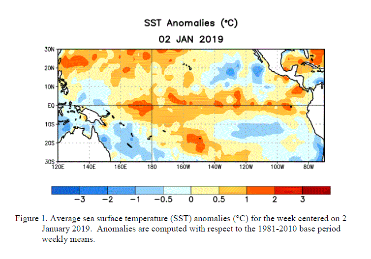
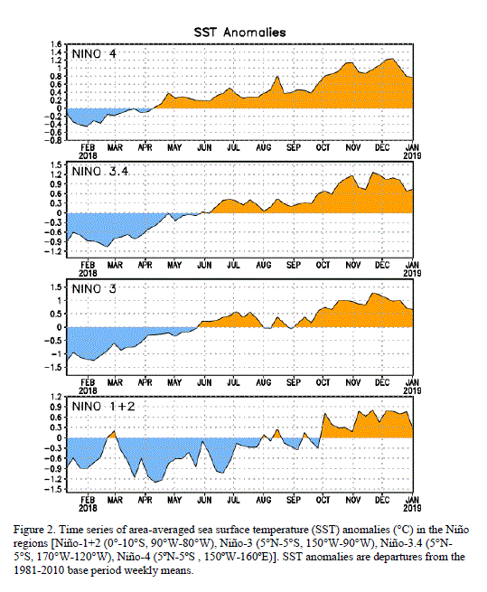
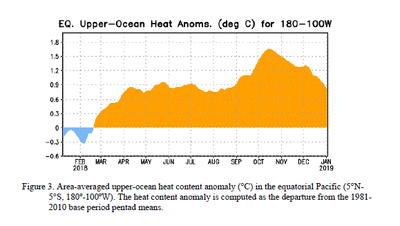
During October 2009, sea surface temperature (SST) anomalies increased across the central and eastern equatorial Pacific Ocean (Fig. 1 & Fig. 2). The Niño-3.4 index increased nearly a degree with the most recent weekly value at +1.5°C (Fig. 2). Above-average subsurface temperature anomalies increased across a large region of the central and east-central Pacific, with anomalies ranging between +1 to +5°C by the end of the month (Fig. 3).

Original post (Nov. 2):
The latest weekly El Niño update, released today, shows sea-surface temperatures continuing to increase in all 4 of the El Niño regions in the tropical Pacific. Temperatures are at least 1°C above average in most of the central and east-central equatorial Pacific. Model forecasts indicate that El Niño conditions will continue to strengthen and last through the 2009-2010 winter.

See here for the winter outlook.

The latest El Niño regional temperature departures from average are:
Niño 4   1.6ºC
Niño 3.4 1.5ºC
Niño 3 1.2ºC
Niño1+2 0.4ºC
Image (click to enlarge): 2008-2009 El Niño regional sea-surface temperatures from NOAA/Climate Prediction Center

Financial Times: "Follow the Science"

The lead editorial in today's Financial Times newspaper strongly endorses a science-based climate change policy:
As next month’s Copenhagen conference approaches, politicians should not be distracted by the apparently growing volume of sceptical voices challenging the need for global action against climate change. Some of the sceptics may have scientific backgrounds but they are not in the mainstream of contemporary climate research. The real experts – hundreds of scientists worldwide who are examining the link between climate and carbon dioxide emissions – have no doubt that man-made global warming is a real crisis that must be addressed urgently.
The FT editors also show serious skepticism on geo-engineering:
Fortunately the science becomes much clearer when we move from predicting the climate itself to assessing how best to reduce carbon dioxide in the atmosphere. Forget about esoteric "geo-engineering" proposals to cool the earth. Technology that already exists (or is in development) can do the job perfectly well by increasing the efficiency with which we use carbon-based energy.
An editorial in tomorrow's FT will "outline the policies that can make a real difference to climate change without causing unacceptable disruption to the global economy."

Wednesday, October 28, 2009

October Rainfall Extremes Set New Record

See here for more Washington, DC weather records.

Nov. 1 Update: An additional 0.13" on Halloween brings the final monthly total to 5.71", or 2.49" above average. Here are the monthly, seasonal, and year-to-date totals for the region:
Washington National 5.71"/9.02"/35.68"
Washington Dulles 5.70"/7.53"/38.93"
Baltimore BWI 6.24"/9.72"/42.57"
PM Update: Added chart of October 1920-29.

Original post:
With 1.23" of rainfall yesterday, and an additional 0.79" through this morning, the preliminary October rainfall total for Washington stands at 5.59", over 70% above the long-term average for the month. This precipitation excess caps off a decade of October extremes. The 0.02" in 2000 was the second lowest since records began in 1871, and the 9.41" in 2005 was the record highest.

The last 5 consecutive Octobers, and 8 out of the decade 2000-2009, have all been at least 50% above or below the long-term average. The only other decade in which there have been more than 6 such extremes was the 1920s, when there were also 8. This decade's extremes have all been at least +/-55% of average, however, whereas 1925 barely made the 50% level at 50.9%.

Of the 8 extreme Octobers this decade, 5 have exceeded on the up side and 3 on the down side. The 1920s, on the other hand, excelled on the dry side, with 6 of the 8 extreme months below average.

Image (click to enlarge): Washington, DC October 2000-2009 precipitation percentage above or below average; CapitalClimate chart from NWS data

Monday, October 26, 2009

Washington, DC Precipitation Update: Deep Deficit to Solid Surplus

See here for more Washington, DC weather records.

October 27 Update: The 0.63" from last night through this afternoon brings the monthly total to almost 50% above the average to date. Current month-to-date totals:
Washington National  4.18"
Washington Dulles 4.38"
Baltimore (BWI) 4.85"
Original post:
The nearly 1" of rain which fell on Friday and Saturday, combined with the heavier amount the preceding weekend, has moved October's precipitation in the Washington, DC area from the large deficit of the first half of the month to a solid surplus. The month-to-date total of 3.55" at Washington National is 37% above the average through the 25th and is above the average for the entire month. Along with the 1"+ amounts forecast for the upcoming 5 days ending on Halloween, October has a good chance of joining April, May, and June in being 50% or more above normal.

Here are the storm total, month-to-date, and year-to-date precipitation amounts for the region:
Washington National  0.92"/3.55"/33.52"
Washington Dulles 1.73"/4.03"/37.26"
Baltimore (BWI) 1.00"/4.31"/40.64"

Seasonal Outlook

Latest seasonal forecast: Click here.


Latest 3-month temperature outlook from Climate Prediction Center/NWS/NOAA.