5:30 Update: A nice line of showers and thunderstorms has set up in the past hour from just north of I-66 near the Blue Ridge southward to southeast of Charlottesville. The heaviest storms are in the southern portion. Some storms will probably reach the southern and western suburbs in the next hour or two.
 Showers to the east of a strong storm nearly stationary over the Great Lakes began in the Washington metro area around 8am, but they have remained very light and spotty through most of the day. The official rainfall total is still under 0.10".
The showers are becoming more numerous late this afternoon, but the heaviest amounts are remaining west of the Blue Ridge and northward into Pennsylvania. Some showers and possibly a few thunderstorms will still develop through the evening until around midnight. A few places may see moderate to heavy rain at times.
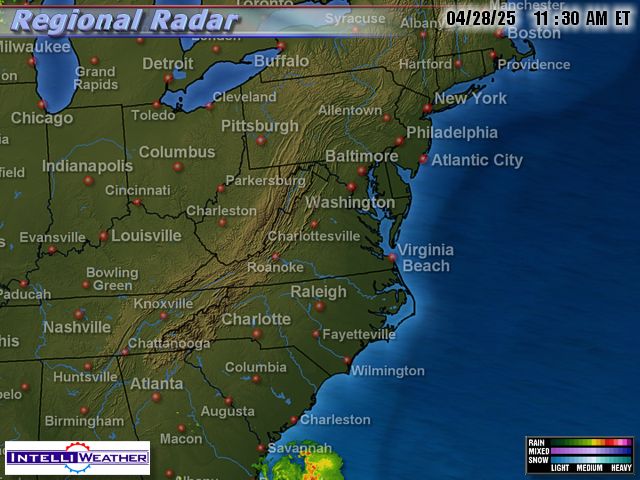
Radar map around 4:15 today from IntelliWeather
Tonight and Tomorrow
Scroll on down below for a peek at the weekend and next week.
 The late-July-like sun through nearly clear skies and low humidity combined to bring a picture-perfect weather day to the Washington DC metro area. By 4pm, both major local airports had reached 77°, and dewpoints were all in the 40s. Dulles added another degree the following hour. Regional radar was bone-dry for hundreds of miles in all directions.
 The lead story on Comedy Central's Daily Show Monday was "The Weather Game." It was about the ads being run by Terre Haute, Indiana, TV station
  The unsettled weather pattern is continuing this afternoon in the Washington DC metro area as an Atlantic low pressure area heads toward New England. With more sun than clouds, however, temperatures have recovered nicely from yesterday's clammy 50s to the upper 60s or 70° by mid afternoon. Even Ocean City was up to 65° with an easterly breeze. After another dry day tomorrow, some rain is likely again by tomorrow night or Thursday.


