5:30 Update: A nice line of showers and thunderstorms has set up in the past hour from just north of I-66 near the Blue Ridge southward to southeast of Charlottesville. The heaviest storms are in the southern portion. Some storms will probably reach the southern and western suburbs in the next hour or two.
 Showers to the east of a strong storm nearly stationary over the Great Lakes began in the Washington metro area around 8am, but they have remained very light and spotty through most of the day. The official rainfall total is still under 0.10".
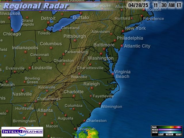
The showers are becoming more numerous late this afternoon, but the heaviest amounts are remaining west of the Blue Ridge and northward into Pennsylvania. Some showers and possibly a few thunderstorms will still develop through the evening until around midnight. A few places may see moderate to heavy rain at times.
Radar map around 4:15 today from IntelliWeather
Tonight and Tomorrow
 For tonight, showers through this evening will end by 2am. Lows will be in the low 50s. Sun through variable clouds tomorrow will bring highs in the low 70s.
Scroll on down below for a peek at the weekend and next week.
No comments:
Post a Comment